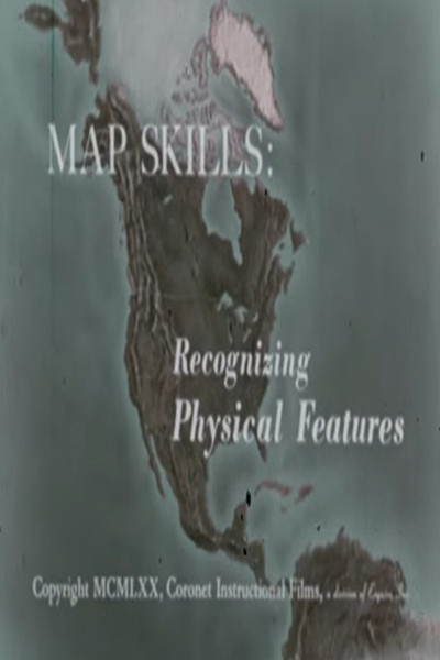
Map Skills: Recognizing Physical Features
Documentary
Physical features such as gulf, peninsula, island, etc, are defined and basic principles of using colors to show elevation are illustrated with models.
More Like This
 MOV
MOV
North American Regions: The Rocky Mountains
1967
 MOV
MOV
North America: Its Rivers
1971
 MOV
⭐ 7.2
MOV
⭐ 7.2
The Journey of Man: A Genetic Odyssey
2003
 MOV
MOV
Bancoco
2023
 MOV
MOV
Echoes from the Tian Shan
2025
 MOV
MOV
Decolonising the Curatorial Process
2020
 MOV
⭐ 10.0
MOV
⭐ 10.0
Antártica: O Continente dos Extremos
2021
 MOV
MOV
Map Skills: Using Different Maps Together
1960